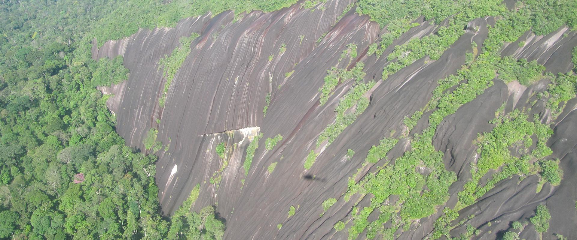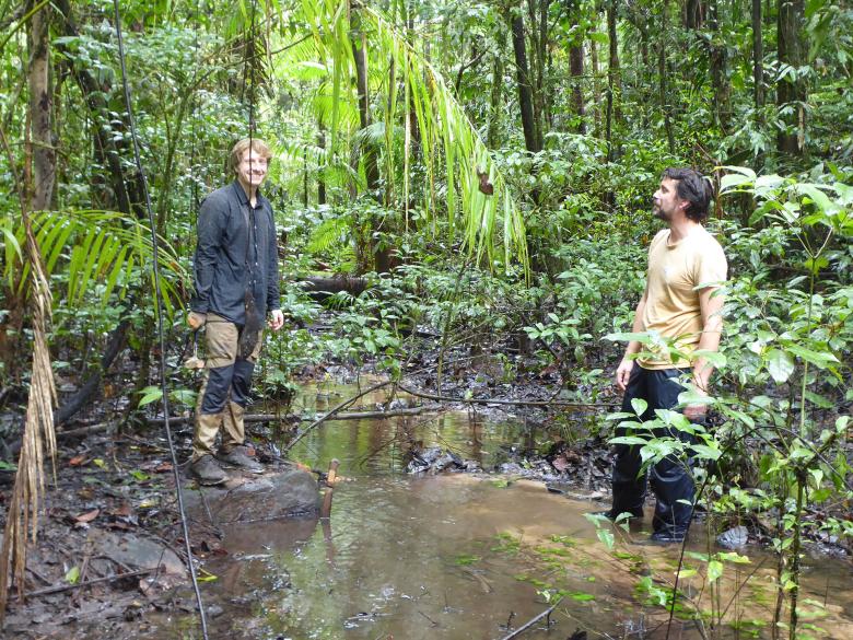
A prospecting team at one of the identified outcrops (Maripasoula, March 2022).
© BRGM - T. Gutierrez
The need
The town of Maripasoula in French Guiana, on the border with Surinam, is only accessible by aircraft or canoe. The town's development is hampered by the lack of aggregates, which are currently taken from the Lawa river (an upstream tributary of the Maroni) under a temporary exemption, leading to delays in many public projects. In view of the environmental consequences and the fact that resources are too scarce to meet the demand, the local authorities (the French State and the French Guiana Regional Authority) now intend to open a quarry and asked BRGM to identify suitable areas for the project.
In Maripasoula, a land of gold miners, aggregates are worth more than gold itself. Their value over and above the market value is directly linked to collective needs and interests.
The results
Various prospecting phases were carried out by specialist BRGM teams:
- a preliminary regional survey to identify suitable granites for aggregate production;
- geological prospecting in the jungle to find granite outcrops in order to identify an initial, favourable area with the thinnest possible clay cover, so that geophysical prospecting could be set up there;
- geophysical prospecting (with electrical probes) to identify the optimum position for the future quarry and locate the boreholes.
This pre-feasibility study was crucial to the success of the project and led to the discovery of new rock outcrops, which are uncommon in the virgin forest. The results of the study will be used to optimise the location of the future quarry in this outcrop area using ground-based geophysical surveys. The subsequent phases (drilling, analysis and 3D modelling with reserve calculations) will ensure financial equilibrium and meet the requirement for aggregates of sufficient quality and quantity for the next 30 years.
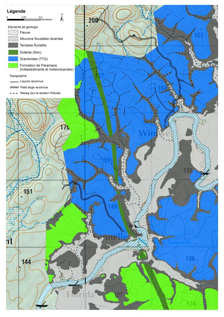
Extract from the detailed geological map produced after the assignment (Maripasoula, 2022).
© BRGM – L. Rivera
Using the results
The final phase of the work is currently in progress and involves drilling boreholes. On the basis of core sample analysis, BRGM will produce a 3D model to calculate the reserves and project the geometry of a future quarry according to logistical constraints (access, waste rock management and pit geometry) and technical and financial factors (overburden thickness, recovery rate, sufficient quality for all sectors that use aggregates, possible variation in quality, minimum reserves).
The partners
- Prefecture of French Guiana / Environment, Planning and Housing Department (DEAL) of French Guiana
- French Guiana Regional Authority

